基于ChinaCover数据集的绿洲结构数据制图——以河西内陆河流域为例
Mapping oasis structure data based on ChinaCover dataset: a case study of Hexi Inland River Basin
基于ChinaCover数据集的绿洲结构数据制图——以河西内陆河流域为例 |
| 李森, 颜长珍 |
|
Mapping oasis structure data based on ChinaCover dataset: a case study of Hexi Inland River Basin |
| Sen Li, Changzhen Yan |
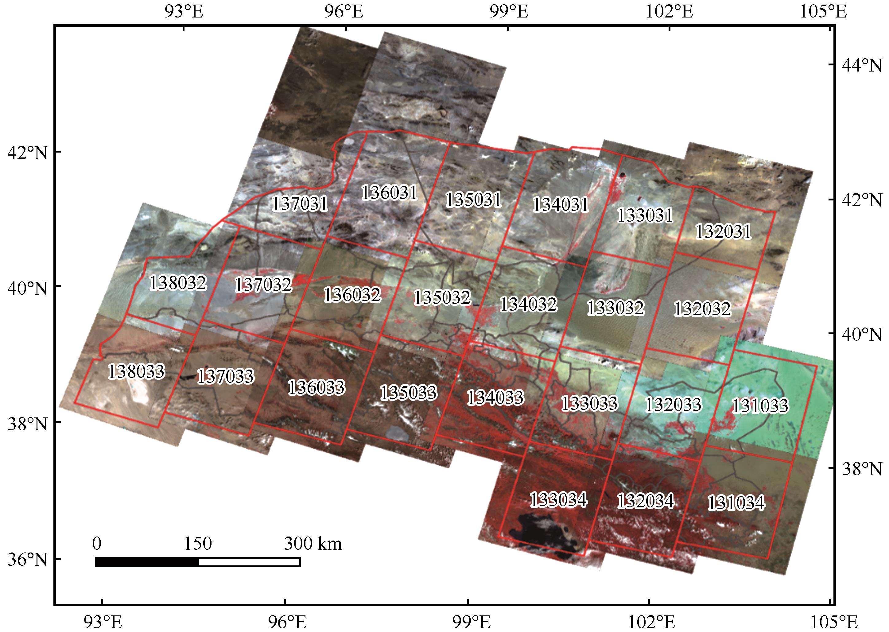
| 图2 河西内陆河流域Landsat轨道号及2020年OLI影像 |
| Fig. 2 The Landsat track number and 2020 OLI image in Hexi inland river basin |
|
|